


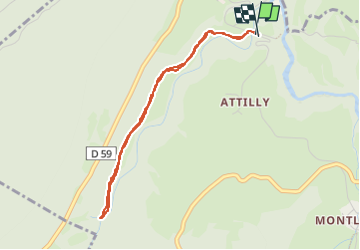

10.5 km | 18.5 km-effort


User


FREE GPS app for hiking
 SityTrail
IGN / Geographical institutes
SityTrail World
The world is yours!
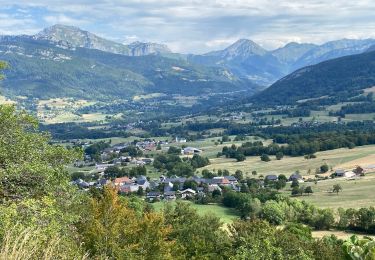
Trail Walking of 3.8 km to be discovered at Auvergne-Rhône-Alpes, Savoy, Le Châtelard. This trail is proposed by mallovon.
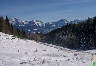
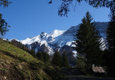
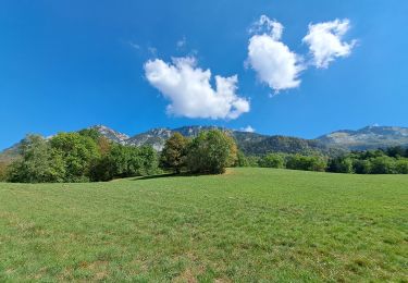
Aller retour à la cascade en partant du parking près du pont. Sentier facile et agréable en forêt. Belle cascade.


Walking

Walking

Walking
Walking
Walking
Walking
Walking
Walking
Walking